Satellite imagery: Tool for managing pasture and cattle weight
A new way to predict grazing cattle weight gain on rangelands from satellite imagery.
December 22, 2021

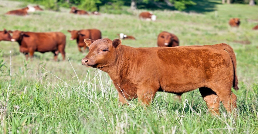
USDA's Agricultural Research Service (ARS) developed a unique approach to using satellite imagery to predict cattle weight gain on rangelands. By fusing multiple images over a period of time, scientists were able to monitor how forage quality changes over space and time in rangelands within the shortgrass steppe, and how this relates to the weight gain of free-ranging cattle throughout the summer grazing season.
Managing the grazing season in rangelands can be challenging due to high variability in temperature and rainfall over time. From a manager's perspective, it is essential to know when and where forage production and quality are changing to optimize free-range livestock weight gain and meet other environmental objectives. This is not just about chasing forage quantity (total amount of vegetation biomass); it is also about looking for the highest-quality forage throughout the season.
"This study is probably the first-time high-quality datasets have been used to predict cattle weight gain directly from satellite imagery," said Sean Kearney, Post Doc Research Associate in Fort Collins, CO.
In the study published in Ecological Applications, scientists used the satellite images, along with field observations from 40 different pastures grazed over a period of 10 years, to predict the performance of cattle grazing in Eastern Colorado throughout the summer season. The study site, the Central Plains Experimental Range, is a Long-Term Agroecosystem Research (LTAR) network location.
The cattle performance predictions – specifically, weight gain – were made from satellite-derived estimates of both forage quantity and quality. The satellite-based predictions of forage quality were a first for the region, and they proved to be especially important. Most notably, weight gain was affected by the timing of forage green-up and senescence (browning down).

"We observed that in years when satellite images showed forage greening up earlier, before cattle began to graze, the quality of the diet declined more rapidly and cattle weight gain was lower, especially toward the end of the grazing season," said Kearney. "In some years, plenty of biomass was still available late in the season, but a large portion of the high-quality forage was missed because it peaked (reached top quality) so early in the season. This resulted in cattle feeding on lower-quality grass, which reduced their performance."
With recent climate patterns of earlier spring green-up, higher temperatures and drier weather during the summer months, it is critical to determine the right time to start and stop grazing cattle, in order to match up grazing timing with high quality forage.
"We knew forage quality mattered, but we didn't know to what extent," said Lauren Porensky, Research Ecologist. "Now we can estimate diet quality across space and time and have a better idea of what is causing changes in diet quality throughout the season."
What is next? Scientists are linking these new diet quality and vegetation maps with GPS collar data to better understand what drives cattle foraging behavior, as well as working on a new model to predict diet quality in near-real-time to support adaptive management efforts of ranchers and other rangeland managers.
The Agricultural Research Service is the U.S. Department of Agriculture's chief scientific in-house research agency. Daily, ARS focuses on solutions to agricultural problems affecting America. Each dollar invested in agricultural research results in $17 of economic impact.
Source: USDA ARS, which is solely responsible for the information provided and is wholly owned by the source. Informa Business Media and all its subsidiaries are not responsible for any of the content contained in this information asset.
You May Also Like

.png?width=300&auto=webp&quality=80&disable=upscale)

